James Cradit

Sunday, September 03, 2006

Tenas Camp to Washington

Day7, Tenas Camp to Washington: 10.5 + .5 miles

We woke up and fairly quickly ate and packed: we had almost seven miles to Charburger and we wanted to be there! Down at this stretch of the trail there were quite a few day hikers and we were seeing groups of them that numbered more than all the people we’d normally see in one whole day. Stymied in our attempt at a letterbox near the trailhead we headed on to the Gorge trail, a pretty but loud (from the interstate) trail which is a 12.8 mile long trail from Bridal Veil to Ainsworth State Park. It is also the trail from Eagle Creek to Cascade Locks. A portion of the trail is paved for bicycles and splits at one point. We followed the paved portion to the northside of the freeway and were rewarded with comparative silence as we were well below the highway. Soon we reached the end of the trail, conveniently located at the Charburger parking lot. We went in and enjoyed the view of the river and the Bridge of the Gods while eating our huckleberry pie and hamburgers. Yum! Being right there we decided that we couldn’t pass up the opportunity to hike across to Washington. There we read a visitors kiosk and dreamed for the hot springs in Carson and learned about the landslide which had temporarily blocked the flow of the Columbia and became the Indian bridge of the gods! Heading back Karen spied a pioneer grave just beside the park and ride lot. We paid our respects and then headed back to Oregon.
We hiked back on the Gorge trail the whole way and at one point switched back up a hill and thought we were experiencing a PUD until we found a nice view of the remnants of the landslide. Back at Eagle Creek we ditched our packs with the camp host and went to find one last letterbox. On the return, I suddenly felt tired and done. I think my body knew this was the end and was shutting down. So I found a nice grassy area and laid down awaiting for Keith to pick us up. The hike was done. We'd backpacked from Timberline Lodge to Washington, 56.5 miles with our packs plus another 11.4 without!

Wahtum Lake to Tenas Camp

Day 6, Wahtum Lake to Tenas Camp (Eagle Creek): 9.2 miles

Ryan didn’t join us during the night so we headed out without him. We didn’t have a specific camp site in mind along Eagle Creek but we expected that Ryan would catch up with us and if not he’d just check all of the campsites as he passed them. The hike was all downhill from here, literally!

Along the way we crossed several creeks including the Indian Springs Fork of Eagle Creek, fed by that elusive Indian Springs. We had seen an older couple back at Wahtum Lake who were hiking from Palm Springs to Cascade Locks and they had found the springs and told us where it was. Oh well, it was nice to have two nights in one spot so everything worked out OK anyway.

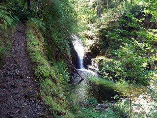
One of the features of the Eagle Creek trail is the abundance of waterfalls. Most hikers stop at Tunnel Falls, if they even get that far, but there are several unnamed but very pretty falls further upstream. As we hiked we ran into a couple of guys who had just moved to Portland out for a weekend backpack trip. We also met a college aged boy backpacking alone. I nicknamed him “Right on!” because he must have said that 20 times in our conversation with him. Karen kept calling him “Jose” though I’m not sure why as he wasn’t Hispanic looking at all.

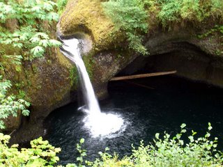
We stopped just above some falls which are not officially named but commonly referred to as Crossover Falls. There are several pretty pools in the creek in this vicinity which look quite inviting but are a little too cold for swimming. We still enjoyed washing our feet and sunbathing on the warm rocks. In no hurry to get to camp and hoping that Ryan would wander by, we relaxed for a good hour. It was quite serene even though we were only about 7 miles from interstate 84. The only person we saw was a girl and her dog doing an overnight trip. She was hiking in flip flops (she did have boots hanging from her pack) which seemed like a bad idea, especially as much of the Eagle Creek trail is quite rough from being blasted from the basalt canyon walls. As the canyon walls were beginning to bring shade we headed down the trail to stunning but acrophobic Tunnel Falls. Here the trail makers actually blasted a tunnel through the cliff behind the waterfall! It was here that we began to run occasionally into day hikers. Onward Karen found a letterbox I had hidden last year and then I found one of hers. As I was packing up the letterbox, I discovered that I had lost my datasheet! Since we had only to head down the Eagle Creek trail, a trail we were both familiar with, it wasn’t a disaster, though it was still like losing a friend. We were then debating which campsite to stay at when Ryan came down the trail – with my datasheet! Reunited we quickly decided to camp at the campsite closest to the trailhead – and more importantly, closest to the Charburger in Cascade Locks.

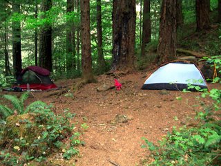
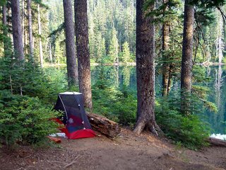
So we headed down to Tenas Camp which is a mere 4 miles from the trailhead. The abundance of toilet paper testified to it popularity though being a weeknight we had the site to ourselves. Here I found a bad science fiction book someone had left behind. We caught up on the adventures since we separated. Ryan had lost his food bag and half his tarp to a bear. Even though Karen and I only brought half the food this time, we still had plently to share. Then, with mixed emotions about it being our last night, we went to bed.

Saturday, September 02, 2006

Wahtum Lake

Day 5, Wahtum Lake: 0 + 7.5 miles

What a joy it was to not have to pack camp! Ryan still did as he didn’t know if he’d finish his loop or not. If not, he’d camp somewhere and meet us the next day. Ryan left us and soon Karen and I were on our way for a day hike carrying only water, some snacks, and some minimal gear like cameras and first aid. We headed towards the car campground which is reached by a nasty set of steep stairs. Up there we saw a few car campers and I was glad our hike-in site was a good stroll from there.

We headed up the Anthill trail to a junction with the Herman Creek trail which Ryan was taking. Our plan though was to leave the main trails and hike up to Tomlike Mountain.

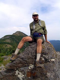
There is something of a trail to Tomlike Mt. but it is a user trail and not official thus is a little hard to follow, especially through some rocky areas. It is easy to see where you need to go so the trail isn’t really that important. This turned out to really be a highlight of the trip. The views, though hampered by the haze from the forest fire, were spectacular. This hike is on my list to do again on a clear day.

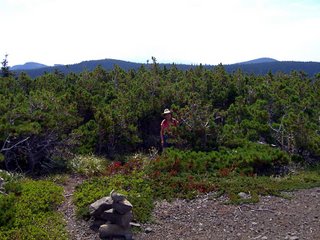
The wildflowers were in bloom and there was a cute little forest of some pine trees struggling for survival on the open rocky ridge. I expected to see a hobbit or gnome at any minute.

At the summit we relaxed for a while near what is either a windbreak built out of rocks or possibly even a native American vision quest pit and enjoyed watching birds
riding the thermal currents. On a lark, I tried my cell phone. It showed no coverage but I dialed anyway and Penny answered! I was glad to be able to report that I was alive; I think I got a little grumpy towards the end of the first segment as I was worried about Penny being worried about me. Karen then tried to call Keith but the phone would no longer work!

We headed back to the Herman Creek trail and took it back to the PCT which we followed to the Chinidere Mt. trail, a short but steep series of switchbacks to the summit. There were many of the windbreaks/vision quest pits at the summit here too and the view included Wahtum Lake and Tomlike Mt.

We headed back to camp via the steep PCT shortcut trail. Back in camp we had literally hours to waste before dark so we finished up the tequila, played a game of scrabble, and took pictures of my blisters. The fourth toe wasn’t as bad as it looks in the picture; the dirty blister bandage was still on it.

Then we decided to build an actual campfire which had us craving fire baked potatoes. This was our first campfire on either segment (except for at Olallie Lake which doesn’t really count). We both had fun playing with the fire and sang kids songs. I hope no one was around to hear our little concert; there certainly was no standing ovation when it was over. Finally we went to bed to cap off a most enjoyable and relaxing day.

Lost Lake to Wahtum Lake

Day 4, Lost Lake to Wahtum Lake: 13.4 miles

The time at Lost Lake must have been refreshing as the trek back up the Huckleberry Mountain trail didn’t seem bad at all. We continued our journey down the PCT and soon met up with some hikers coming the other direction. They said that they had seen someone illegally camping under a tarp just off the trail a mile or so back. We hurried up the trail assuming the scofflaw was Ryan. It was. We got there just in time to see him getting a ticket from a Ranger for illegally camping in the Bull Run Watershed. It looks like he will be fined separately both for camping, having a campfire, and for not properly storing his food so his fine will be $15,000! Look for the AtlasQuest premium membership prices being raised to $100 a month soon. With so many people addicted to AQ, I expect Ryan will shortly be turning a profit from his little run in with the law.

Reunited we got back to hiking, our goal was Indian Spring campground which would make something like an eleven mile day. After getting to camp with about a liter of two of water each day so far, I decided to carry less weight this day. Pretty soon we reach the side trail for Buck Peak, Buck referring not to native Americans or wildlife but the dress code. Ryan, apparently quite modest, refused to follow the dress code but Karen and I made the trek to the top, which was well worth it not just for the view but also the abundance of big, juicy huckleberries.

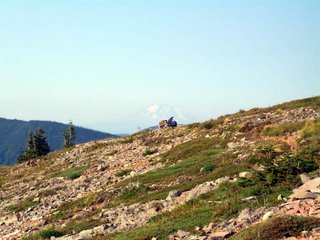
Continuing on, we were looking for the end of the Bull Run Watershed which would mean we were about four miles from Indian Springs. We went a long way without seeing the end and I assumed that we had either missed the sign or that it just wasn’t well marked. The next waypoint was a crossing of the old Larch Mountain road, two miles from Indian Springs. We finally saw a sign and it indicated the end of the water shed! I calculated that we had been hiking only around 1 mile an hour. Even accounting for breaks, that seemed really slow. We were pretty disheartened. Shortly though we crossed the road and we recalled that while the sign indicated the trail was 11 miles on the watershed, our maps indicated only 9 miles. Apparently the guy in charge of putting up the sign was a lazy bum and didn’t want to hike the two miles from the road to put it at the right place. We soon left the forest and began traversing the side of Indian mountain with its incredible views of the foothills of Mt. Hood. It is quite amazing to see the vast forests and hills there are between Mt. Hood and the gorge. We were able to identify the Eagle Creek canyon and spotted Mt. Adams and Mt. St. Helens. Soon we spied Ryan sitting against a cairn with his umbrella and Mt. Adams in the distance. You could also just make out Mt. Rainier. We were just minutes from the campground and I took the last sip of my water. I had finally carried the optimal amount of water! At the campground we looked for the spring. And looked. And looked. We found several dry creek beds but no water! Karen was out of water too and Ryan just had a little left. The next known water would be at Wahtum Lake, another 2.6 miles away with no water to sip along the way. With the daylight rapidly waning, we didn’t have the luxury of looking for the spring anymore so we headed down the trail. Ryan went out front, I stayed with Karen who impressed me with her hiking speed: she even did a little trail running at times. A one point we stopped to take our water bladders out to get the last few drops of water out. We each got a very welcome swallow of water. We hiked on and Karen said she could smell water. I thought I could too and then Ryan came up the trail with water and wet bandanas for us. It turned out we were just around the corner from the lake. Ryan hadn’t expected us to be so close behind him. We still appreciated the effort by Ryan!

We made camp and Karen pulled out her last surprise: tequila shots – complete with salt and lime! Ryan doesn’t normally drink so just the half of a shot he did was enough to get him happy enough to reenact his crotch fire incident from the AT. We discussed the next day. The previous plan was that we’d just hike from Indian Springs to Wahtum lake for an easy day and then do some day hiking at the Lake. Now that we were already at the lake, Karen and I decided to just stay two nights at Camp Double Time. Day hike weren’t challenging enough for Ryan so he hatched an idea to hike to the Benson Plateau and back.